The pioneering team of soil, water, plant, and environmental researchers at Blackland Research & Extension Center and USDA Grassland, Soil, and Water Laboratory in Temple, Texas created a set of comprehensive water hydrology, soil and land management models used world-wide to examine the impacts of changes in technologies and climate on the resilience and sustainability of agriculture and natural resources. The core team spans three agencies: Texas A&M AgriLife Research, USDA Agricultural Research Service, and USDA Natural Resources Conservation Service. These fundamental models continue to serve as the foundation of the more complex, continuous models operating on spatial scales, ranging from individual fields to river basins. We are willing to work with volunteers to translate model manuals into other languages.
What's New
-
Jul 2022
-
Jun 2022
-
Mar 2022
APEX: A Watershed & Land Management Simulation Model
The Agricultural Policy / Environmental eXtender (APEX) model was developed to extend EPIC’s capabilities of simulating land management impacts for small-medium watersheds and heterogeneous farms. It can be configured for land management strategies such as irrigation, drainage, furrow diking, buffer strips, terraces, waterways, fertilization, manure management, lagoons, reservoirs, crop rotation and selection, pesticide application, grazing, and tillage. The routing of water, sediment, nutrient, and pesticide capabilities are some of the most comprehensive available in current landscape-scale models.
EPIC: A Crop & Soil Productivity Simulation Model
The Environmental Policy Integrated Climate (EPIC) model was developed to estimate soil productivity as affected by erosion and simulates approximately eighty crops with one crop growth model using unique parameter values for each crop. It can be configured for a wide range of crop rotations and other vegetative systems, tillage systems, and other management strategies. It predicts effects of management decisions on soil, water, nutrient and pesticide movements, and their combined impact on soil loss, water quality, and crop yields for areas with homogeneous soils and management.
Modeling Workshops
See upcoming workshops or request a workshop.
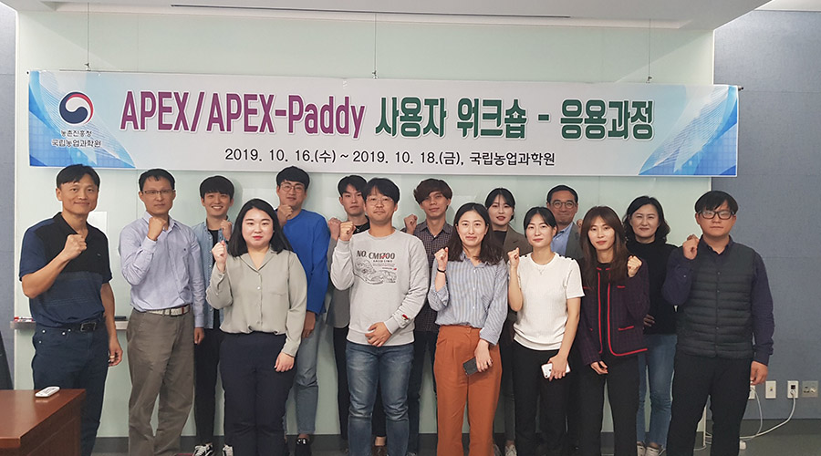
National Institute of Agricultural Sciences, Jeonju, South Korea – October 2019
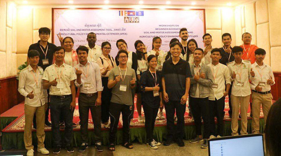
Siem Reap, Cambodia – October 2019
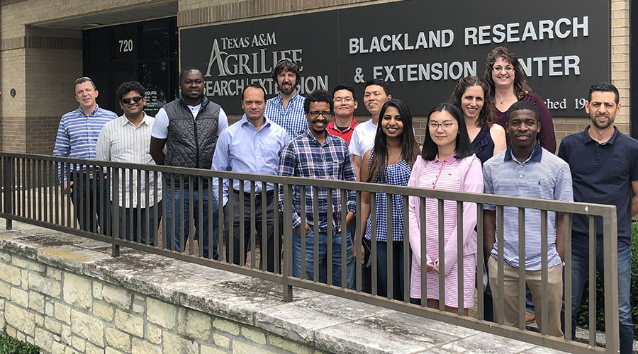
Blackland Research and Extension Center Temple, TX – May 2019
EPIC/APEX Literature Database for Peer-Reviewed Journal Articles
Check out the integrated EPIC/APEX research database that includes searchable publications on environmental management using modeling analysis. The publications span over thirty years and offer a great resource for modelers, researchers, and professionals in rural and agriculture industries.